
If you’re a map lover, this story is gonna be right up your alley!
When he was in his forties, a 16th-century Italian man named Urbano Monte was determined to make a map of the entire world that was as three-dimensional as possible.
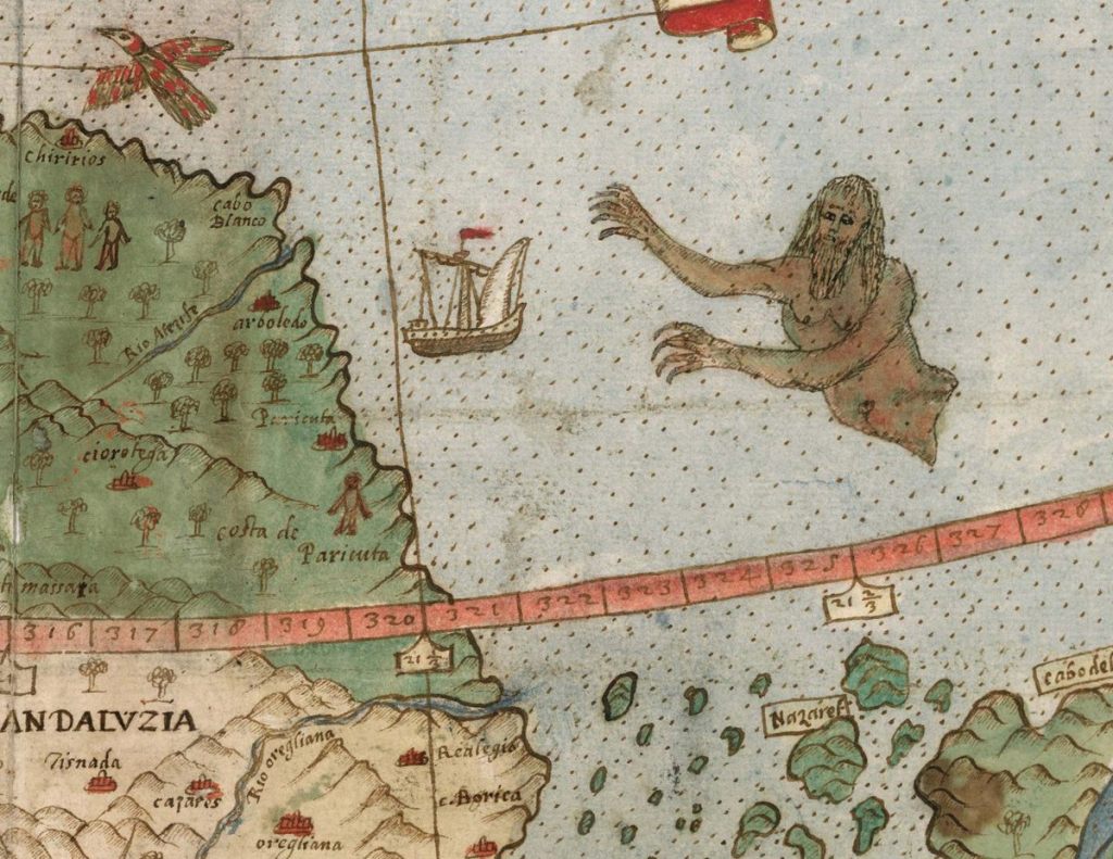
Photo Credit: David Rumsey
Monte originally wanted to have 60 different components stitched together to make one enormous map.
Map collector David Rumsey digitized Monte’s project so the whole world can see his work.
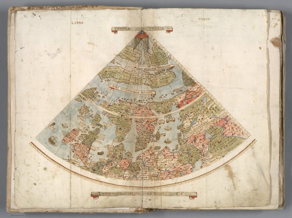
Photo Credit: David Rumsey
Monte’s work is the largest world map of the 16th century and it features a large number of real and imagined beasts on land and sea.
Monte did not travel the world himself but instead made his enormous map by studying existing maps and talking with people who had been to certain countries.
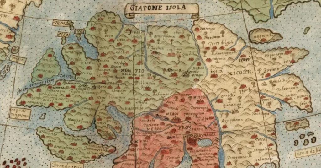
For example, the map below show’s what Monte thought Japan looked like at the time.
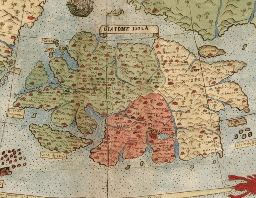
Photo Credit: David Rumsey
David Rumsey said about Monte’s work,
“There were many places that they did not know the names of towns and locations, so they filled them up with trees, monsters.
They just used it as a palette, and it’s so artistic and interesting that it just, it grabs us today.”
You can explore the map digitally by clicking HERE.

Photo Credit: David Rumsey
Now we want to hear from you.
Do you know about any cool history stories we should dig into?
Or do you know about any other cool stories about historical maps?
If so, please share some links with us in the comments.
We’d love to hear from you!